/ OCIANA / Port Optimiser
OCIANA® Port Optimiser
Improve port efficiency, reduce congestion and make better operational decisions with OCIANA® Port Optimiser.
Shape the Future of your Port With OCIANA®
OCIANA® offers sophisticated planning and forecasting capabilities to guide your every decision, improve security and strengthen environmental performance.
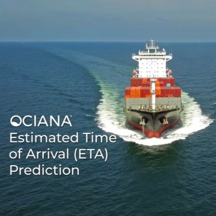
ETA Prediction
- Provides the most accurate long-horizon, multi-stop ETA predictions for liners and tramp vessels
- Enables user to form independent assessment on vessel reliability towards arrival at port
Environmental Performance Management Toolkit
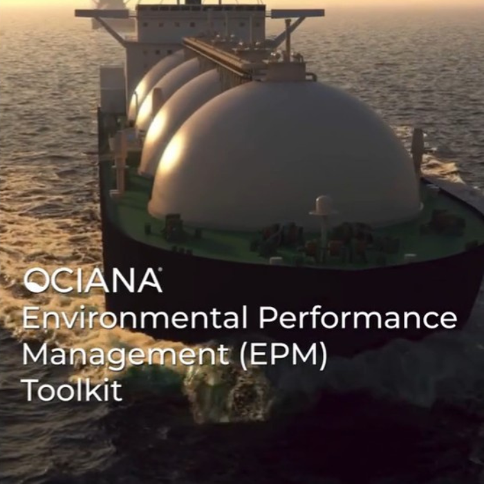
- Real time fuel consumption and greenhouse gas emission monitoring for all vessels globally
- Geospatial visualization of fuel consumption and emissions within a port
- Long-term historic trend analysis of greenhouse gas emission and fuel consumption
- Forecasting of emissions within a port based on historic trends up to a year in the future
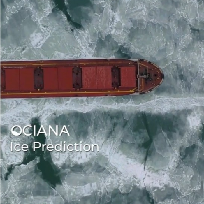
Ice Jam Prediction
- Prediction of ice jams 7 days prior to facilitate advanced planning and scheduling of alternate berthing windows
- Enables prioritisation of resource deployment and management
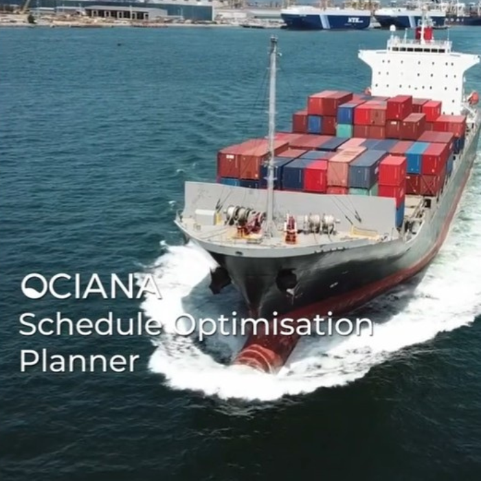
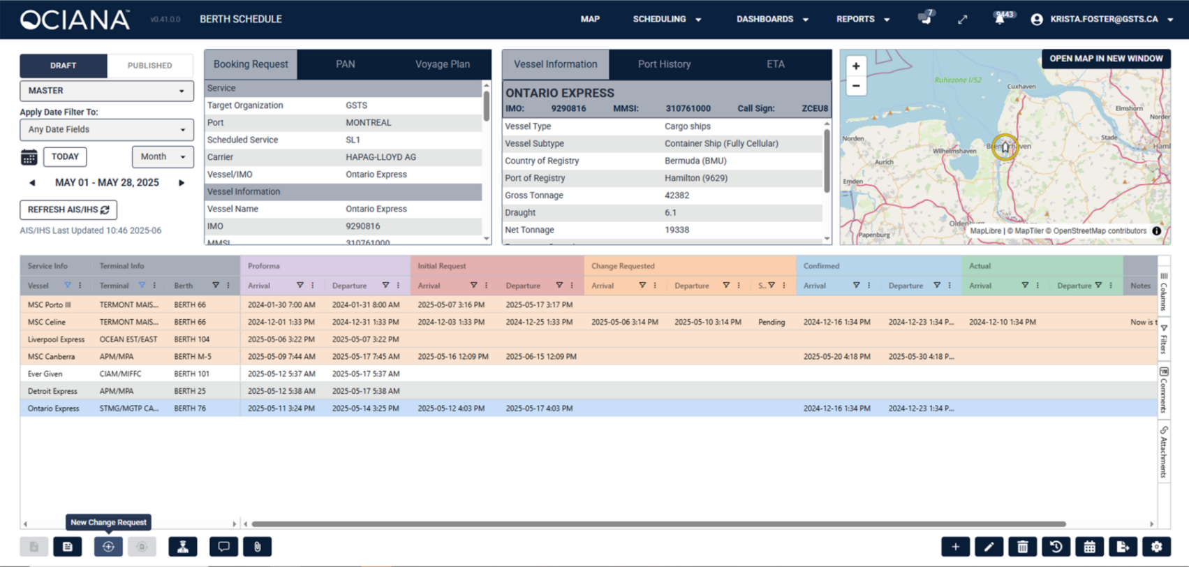
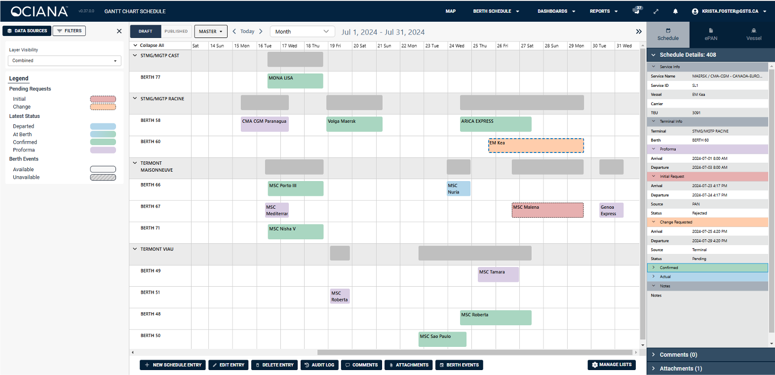
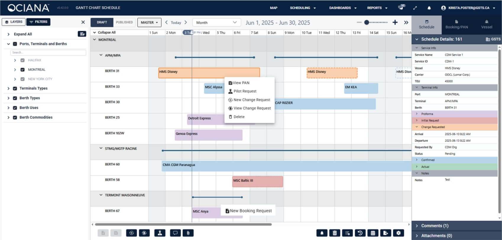
Schedule Optimisation Planner (SOP)
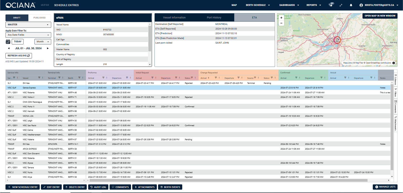
- Provides ports with advanced planning and optimal scheduling for vessels
- Facilitates quick recovery from shock events
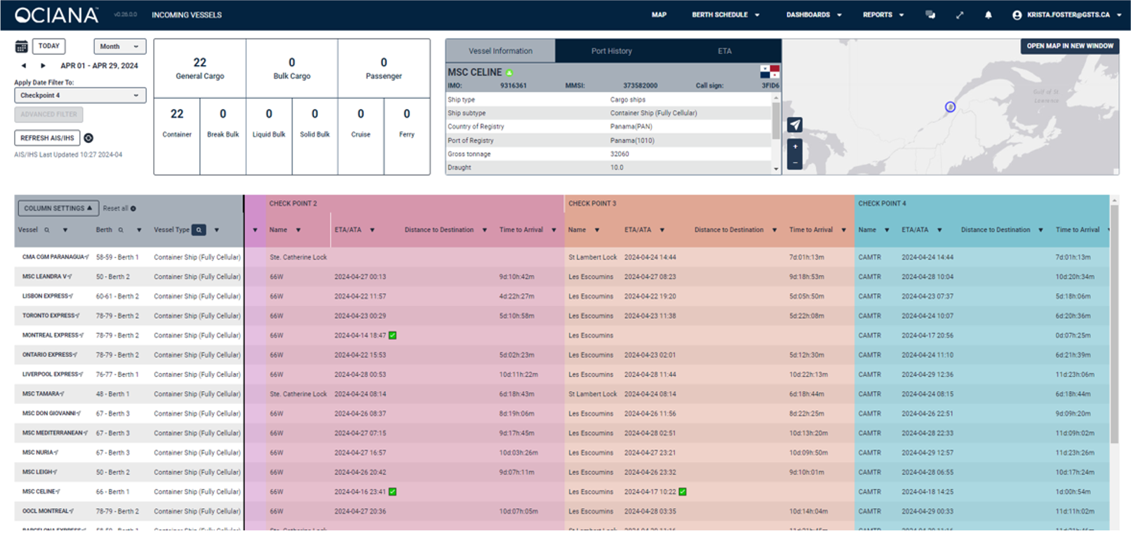
- Predicts vessel behaviour, arrival time and deviations
- Enables simulation–optimisation for resource usage based on reducing vessel wait times, decreasing emissions and enhancing robustness in berth scheduling
Advanced Chat and Collaboration Tools
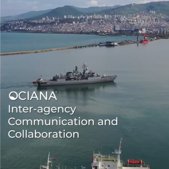
- Facilitates single reference for all users of data and real time communication and collaboration
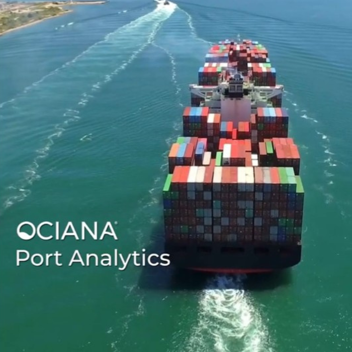
Port Analytics
- Anchorage: allows users to visualise, manage and report on vessel wait time based on arrival and departure, slow downs, destinations and historic behaviour
- Vessel Berthing Reporting: enables full view of all berths capacity and metrics to determine average berthing times
- Port Profiles: enable current and historic behaviour comparison vis a vis sister and competitor ports
Green Digital Shipping Corridor
- Digitized trade routes for all vessels that arrive at port
- Monthly reporting for fuel consumption and emissions along segments of a vessel route or along series of port visits
Intelligent Geofencing
- Geofences enhanced with machine learning to deliver a high accuracy timeline and enhanced predictability into a vessel’s location and planned passage
OCIANA® Collaborative Optimisation Solution
Port Optimiser integrates with OCIANA® Collaborative Optimisation Solution to enable end-to-end maritime planning and optimisation.