Turn maritime data into decisive operational intelligence

Transform fragmented maritime data into a shared, predictive, and human-centred operational picture with OCIANA®, our AI-enabled Advanced Maritime Domain Awareness (aMDA)solution.

Join maritime leaders using OCIANA® to navigate with certainty

From surveillance to predictiveawareness

Traditional Maritime Domain Awareness systems focus on detection and tracking. OCIANA changes the paradigm for defence and security organizations by going beyond seeing activity to understanding intent.

Defence and Range Safety

Airborne ISR Operations

Surface and Littoral Operations
Inter-Agency Collaboration

Use Cases

From data to decisions

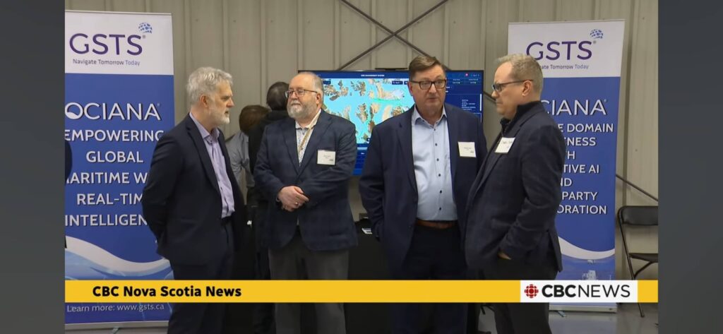
GSTS Advances Growth and OCIANA® Commercialization Through ACOA

Company receives two contributions from ACOA under the Regional Development and Innovation Infrastructure (RDII) program.

March 25, 2026
2 min

What Is Maritime Intelligence?

Global trade, national security, and environmental protection all depend on what happens at sea — often in ways…

March 2, 2026
12 min

What is C4ISR: Backbone of Modern Defence Operations

In the age of information warfare and network-centric operations, modern military and security forces rely on systems that…
February 23, 2026
14 min

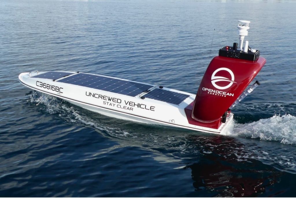
GSTS and Open Ocean Robotics Unveil NextGen Autonomous Maritime Security System

Companies demonstrated an integrated autonomous surveillance system that signals a new era for coastal security.

December 18, 2025
3 min

Berth Productivity: Metrics That Really Matter for Modern Ports

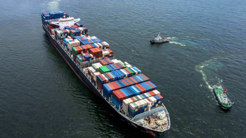
Berth productivity — broadly defined as the container moves a terminal achieves while a vessel is alongside —…
December 8, 2025
7 min

Berthing in Shipping: How to Cut Congestion and Idle Time

Berthing in shipping is a critical stage in maritime logistics. A berth, where cargo is transferred, helps set…

December 3, 2025
10 min

Maritime Security: Insights from Canadian Seapower Conference

This year’s Canadian Seapower conference once again brought together senior leaders from the Royal Canadian Navy (RCN), the…

December 1, 2025
13 min

What makes OCIANA® different

OCIANA® offers strong data fusion, predictive analytics, and a collaborative environment.

OCIANA harmonizes AIS, radar, satellite, environmental, and port-operational data into a single, authoritative operational picture for port authorities.

By resolving data gaps, inconsistencies, and timing mismatches that undermine legacy VTS and siloed port systems, OCIANA ensures every port role is working from the same trusted information.

This unified view supports safe navigation, accurate ETA prediction, congestion management, clearance verification, environmental monitoring, and evidence-ready reporting, all from one consistent source of truth.

OCIANA harmonizes AIS, radar, satellite, environmental, and port-operational data into a single, authoritative operational picture for port authorities.
By resolving data gaps, inconsistencies, and timing mismatches that undermine legacy VTS and siloed port systems, OCIANA ensures every port role is working from the same trusted information.
This unified view supports safe navigation, accurate ETA prediction, congestion management, clearance verification, environmental monitoring, and evidence-ready reporting, all from one consistent source of truth.

OCIANA harmonizes AIS, radar, satellite, environmental, and port-operational data into a single, authoritative operational picture for port authorities.
By resolving data gaps, inconsistencies, and timing mismatches that undermine legacy VTS and siloed port systems, OCIANA ensures every port role is working from the same trusted information.
This unified view supports safe navigation, accurate ETA prediction, congestion management, clearance verification, environmental monitoring, and evidence-ready reporting, all from one consistent source of truth.

OCIANA harmonizes AIS, radar, satellite, environmental, and port-operational data into a single, authoritative operational picture for port authorities.  By resolving data gaps, inconsistencies, and timing mismatches that undermine legacy VTS and siloed port systems, OCIANA ensures every port role is working from the same trusted information.  This unified view supports safe navigation, accurate ETA prediction, congestion management, clearance verification, environmental monitoring, and evidence-ready reporting, all from one consistent source of truth.

OCIANA harmonizes AIS, radar, satellite, environmental, and port-operational data into a single, authoritative operational picture for port authorities.
By resolving data gaps, inconsistencies, and timing mismatches that undermine legacy VTS and siloed port systems, OCIANA ensures every port role is working from the same trusted information.
This unified view supports safe navigation, accurate ETA prediction, congestion management, clearance verification, environmental monitoring, and evidence-ready reporting, all from one consistent source of truth.

Commonly asked questions

What types of port authorities is OCIANA designed for?

OCIANA is designed for civilian and maritime port authorities, including harbour master offices, port security departments, operations and supply chain teams, environmental management, and executive leadership. It supports both single-port deployments and multi-port or national port systems.

OCIANA harmonizes AIS, radar, satellite, environmental, and port-operational data into a single, authoritative operational picture for port authorities.
By resolving data gaps, inconsistencies, and timing mismatches that undermine legacy VTS and siloed port systems, OCIANA ensures every port role is working from the same trusted information.
This unified view supports safe navigation, accurate ETA prediction, congestion management, clearance verification, environmental monitoring, and evidence-ready reporting, all from one consistent source of truth.

OCIANA harmonizes AIS, radar, satellite, environmental, and port-operational data into a single, authoritative operational picture for port authorities.
By resolving data gaps, inconsistencies, and timing mismatches that undermine legacy VTS and siloed port systems, OCIANA ensures every port role is working from the same trusted information.
This unified view supports safe navigation, accurate ETA prediction, congestion management, clearance verification, environmental monitoring, and evidence-ready reporting, all from one consistent source of truth.

OCIANA harmonizes AIS, radar, satellite, environmental, and port-operational data into a single, authoritative operational picture for port authorities.  By resolving data gaps, inconsistencies, and timing mismatches that undermine legacy VTS and siloed port systems, OCIANA ensures every port role is working from the same trusted information.  This unified view supports safe navigation, accurate ETA prediction, congestion management, clearance verification, environmental monitoring, and evidence-ready reporting, all from one consistent source of truth.

OCIANA harmonizes AIS, radar, satellite, environmental, and port-operational data into a single, authoritative operational picture for port authorities.
By resolving data gaps, inconsistencies, and timing mismatches that undermine legacy VTS and siloed port systems, OCIANA ensures every port role is working from the same trusted information.
This unified view supports safe navigation, accurate ETA prediction, congestion management, clearance verification, environmental monitoring, and evidence-ready reporting, all from one consistent source of truth.

Learn how OCIANA helps defence and security departments stay aligned with real-world maritime behaviour and emerging threats.

en_USEnglish